Summary about the Samara region
The total area: 53,6 thousand km2.
It borders on the Saratov and Ulyanovsk regions to the west, on the Orenburg region to the south-west, on the Republic of Tatarstan to the north and on Kazakhstan to the south.
The distance to Moscow: 1000 km.
Population: 3.2 million people. (2.7 million of them are in Samara-Togliatti agglomeration)
Climate: moderately continental
State languages: Russian
Main religions: Orthodox Christianity and Islam
The proportion of city population: 80 %
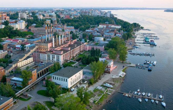
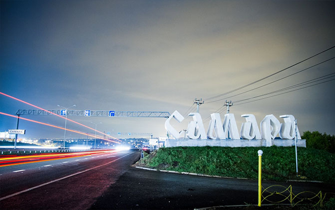
The administrative center: Samara city (population – 1.17 million people)
Time zone: UTC+4/MSK+1
The official Internet portal of the Samara region: www.samregion.ru
Natural resources
Water resources:
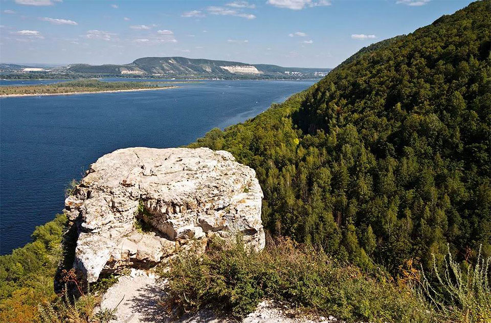
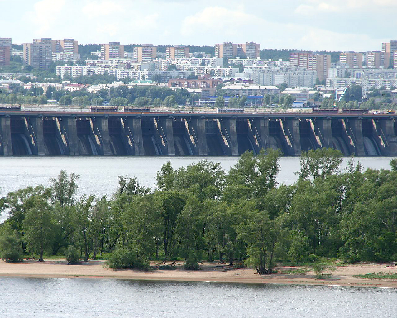
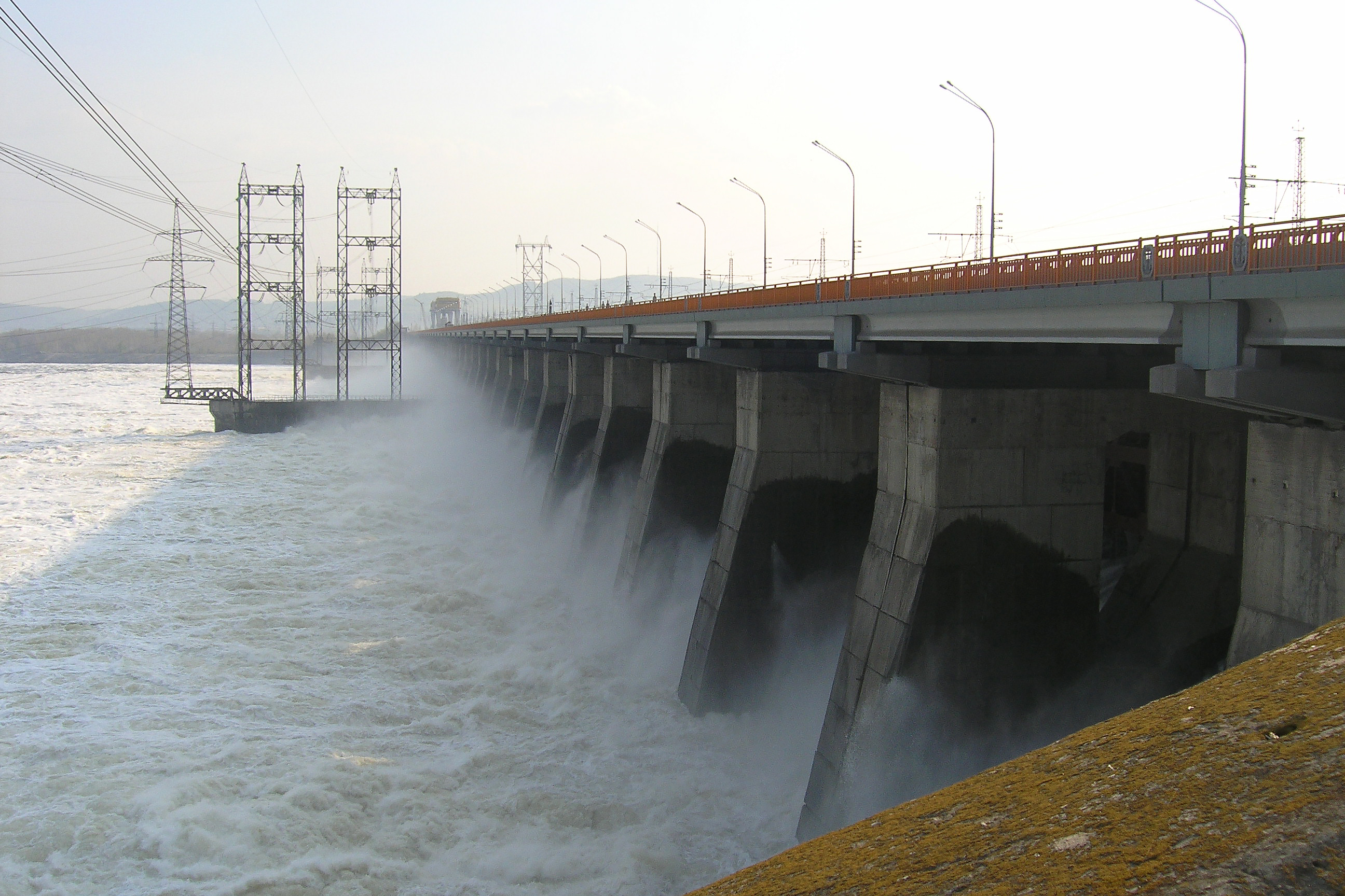
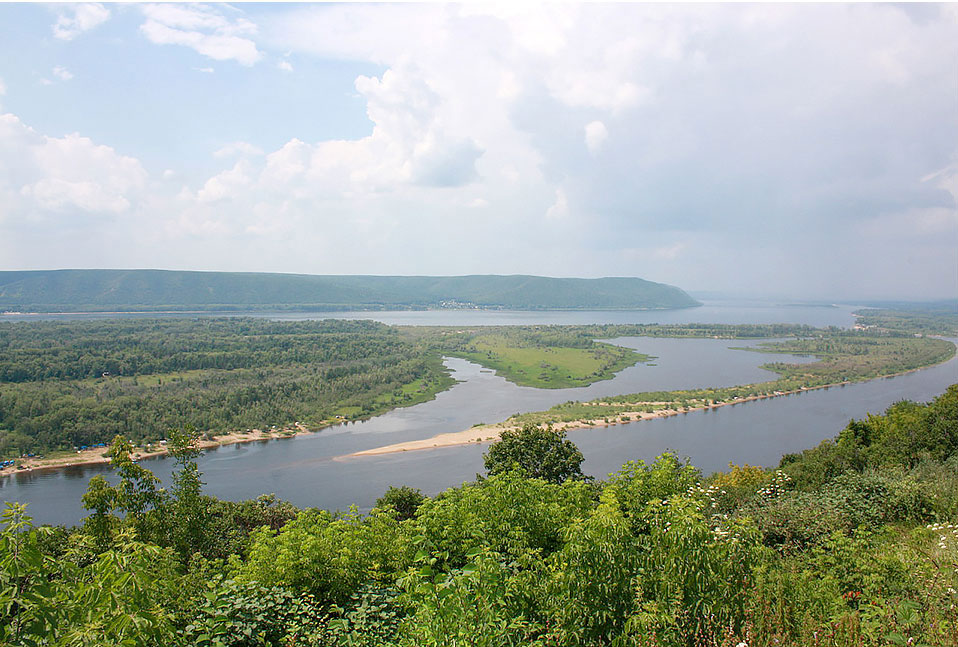
- Volga River flows through the Samara region, the river is 364 km in length on the territory of the region. There are more than 220 rivers and minor streams with the total length of more than 6.5 thousand km, there are also more than 1000 reservoirs and ponds.
Forest resources:
- 13% of the territory
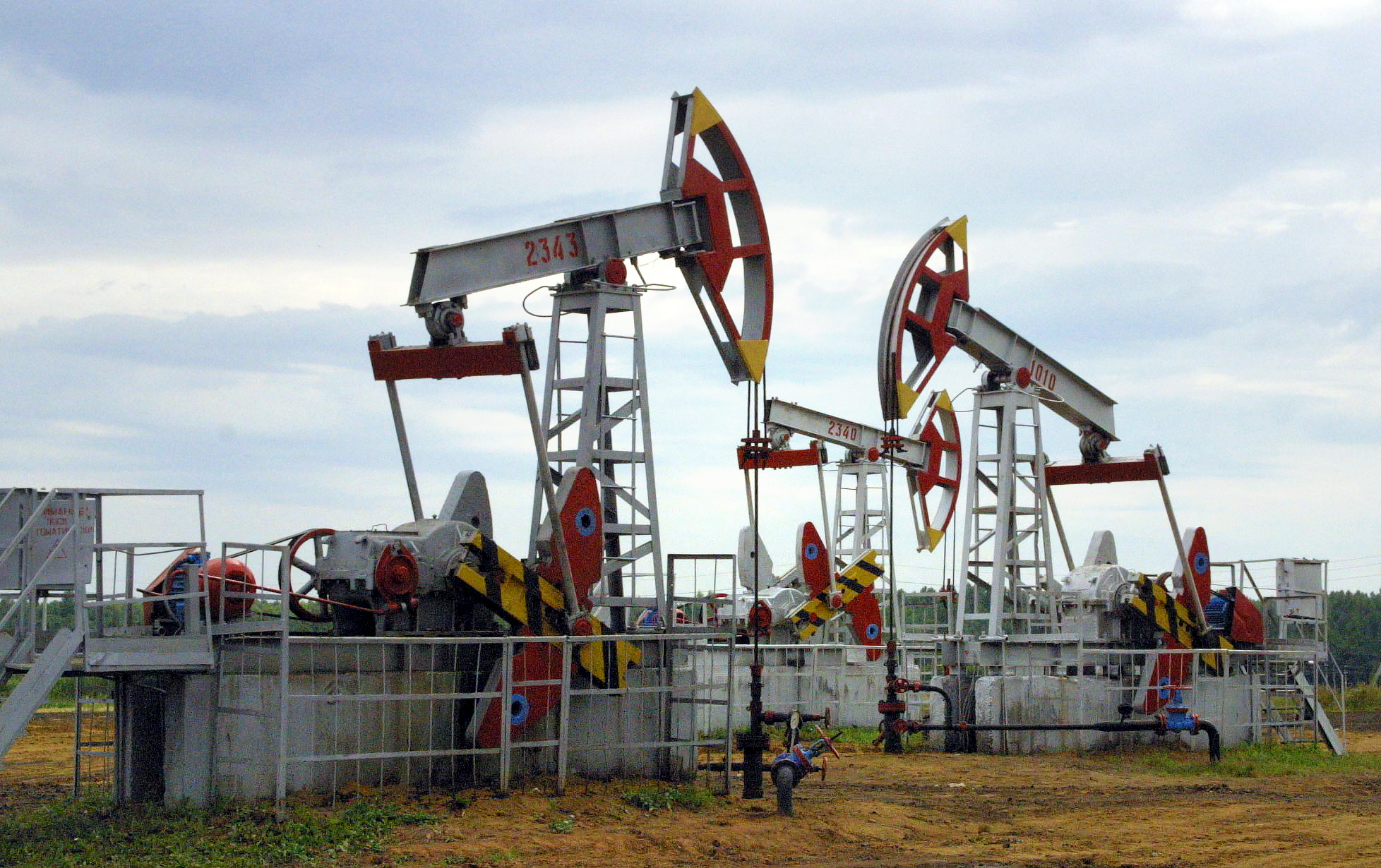
Minerals:
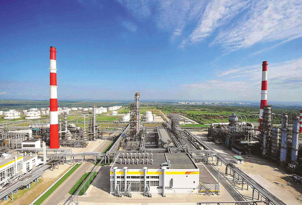
- oil (about 0.9 billion tons)
- limestone (177.4 million tons)
- clay (127.9 million m3)
- sand (306.6 million tons)
Education and Science
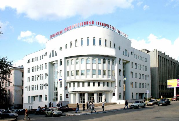
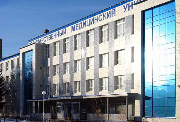
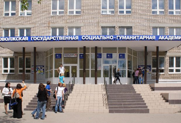
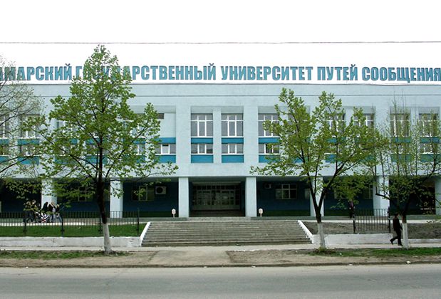
The Samara region is the region with the high level of education and scientific potential and Samara is one of the largest educational centers in Russia.
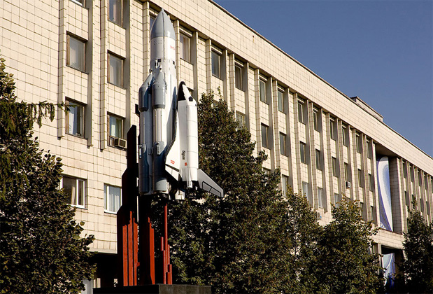
Training of students in the region is conducted in more than 400 specialities for 19 sectors of economy. Samara National Research University was established at the premises of Samara State Aerospace University named after academician S.P. Korolev.
Labor resources
62.3 %
Employment-to-population
ratio
у 41 400
Average monthlysalary
у 12 126
Level of the subsistence
minimum
2.9 %
Unemployment rate
24
Higher education
19 000
graduates
(higher education)
10 400
graduates
(vocational secondary education)
8 place
place in the Russian Federation in terms
of the labor forces potential (RA Expert)
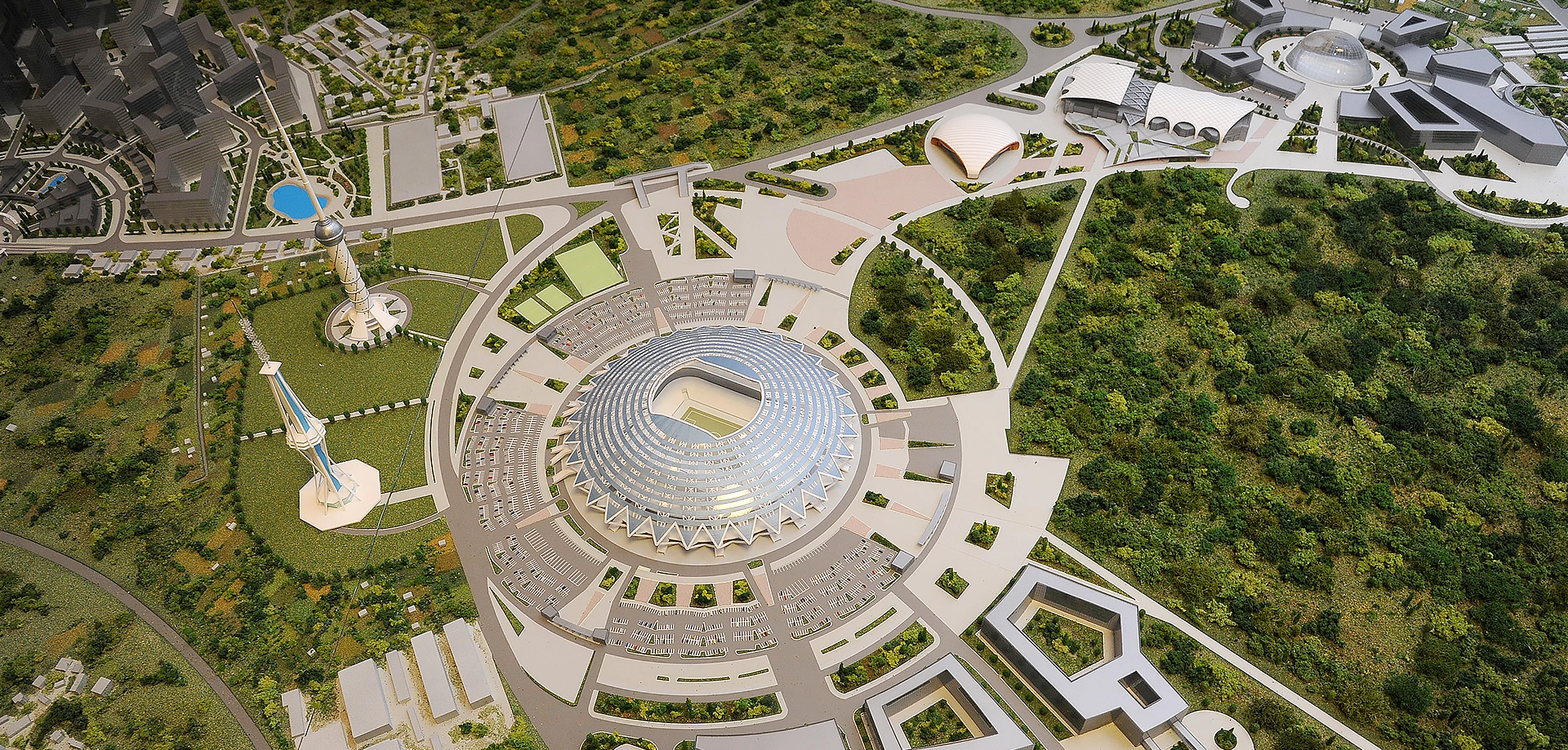
Sports events
FIFA World Cup 2018
The concept of FIFA World Cup 2018 in Russia included hosting matches on 12 football stadiums in 11 cities. Samara hosted matches at a group stage, including the match of the Russian national football team, stages 1/8 and 1/4 of play-off matches of FIFA World Cup.
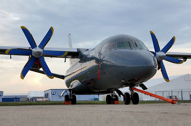
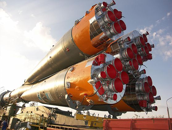
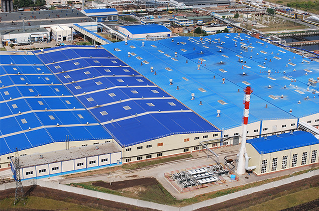
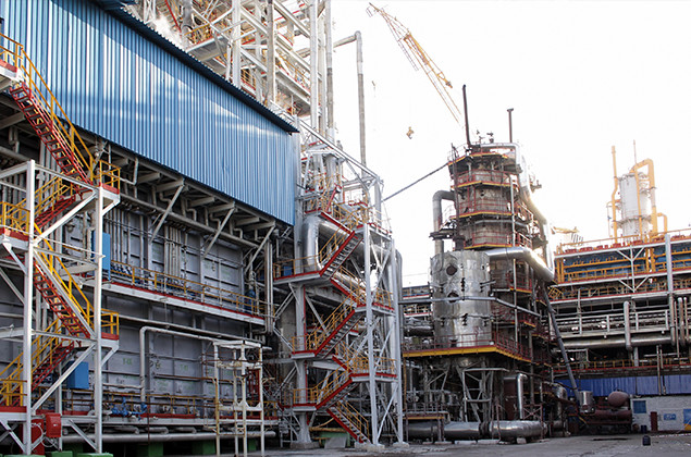
Industrial capacity
About 600 large and medium industrial enterprises are operating in the Samara region. The share of manufacturing industry in the Gross Regional Product is 42.9%.
According to the average per capita volume of industrial production, the Samara region stably ranks the 3rd place in Privolzhsky Federal District.
The leading positions are held by the production of transportation vehicles and equipment, extraction of minerals, chemical industry.


Agroindustrial complex
Agroindustrial complex of the Samara region is the economic system where 559 agricultural enterprises, more than 1900 peasant farms, 365.3 thousand private subsidiary farms and about 1 thousand food, processing companies and enterprises are operating.
There are more than 3.5 million ha of agricultural land in the Samara region. A share of farm area in the agricultural land – 3.4 million ha (more than 8.7% of farm areas in Privolzhsky Federal District).
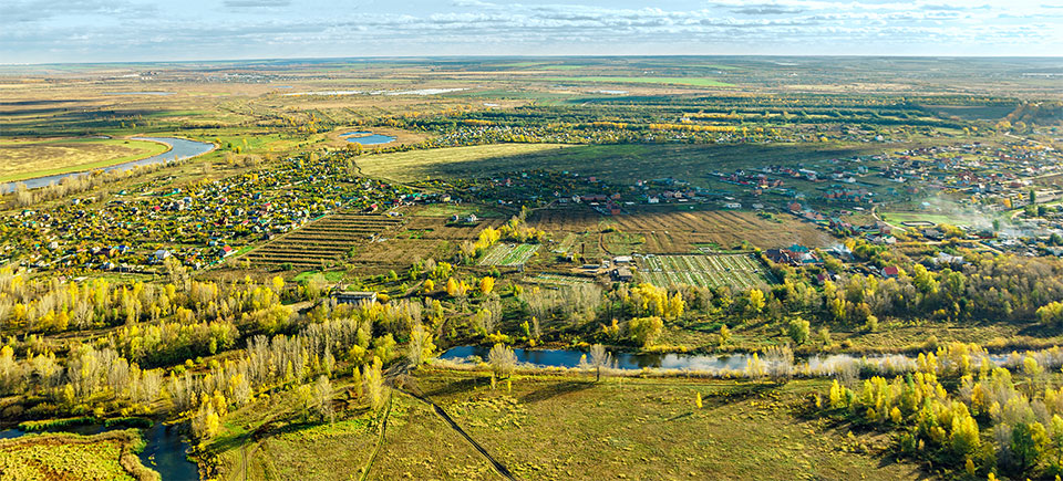
The share of agricultural products in the national production is 2.1%, in Privolzhsky Federal District production – 8.5%. In the structure of gross output of agriculture, crop production makes 68.3% and livestock products make 31.7%. Crop production sector specializes in growing the grain, oil-crop and forage crops, potatoes, vegetables and fruit and berry crops. Livestock breeding in the region specializes in dairy and beef cattle breeding, pig breeding, sheep breeding and poultry breeding.
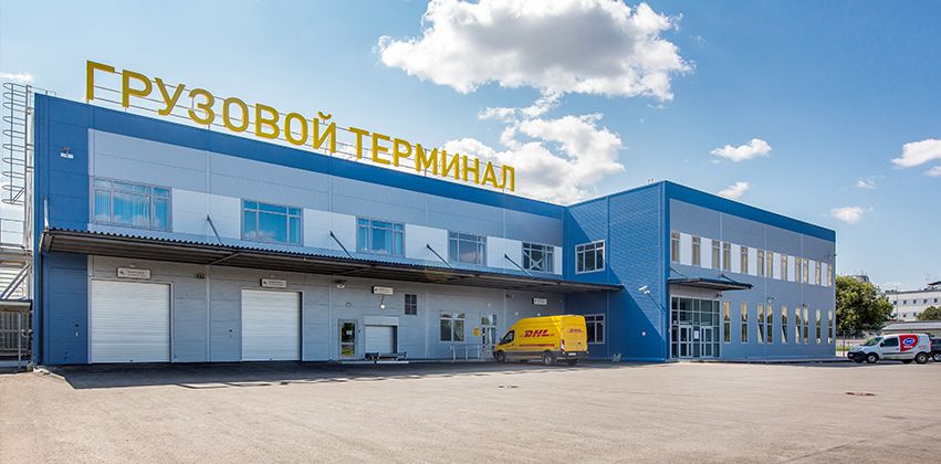
Transport infrastructure
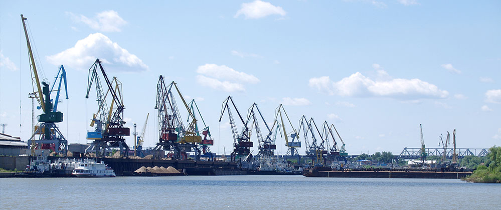
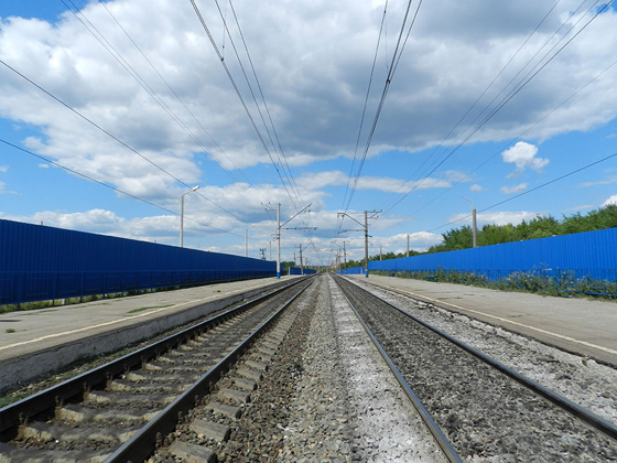
The Samara region is located at the intersection of the main transport arteries: railway (The Trans-Siberian Railway), water (Volga river with the access to the Caspian Sea, the Black Sea, Moscow adjacent areas and the Baltic Sea) and the Federal route M-5 “Ural”. 98% of federal motorways and 99.9% of regional motorways have hard surface.
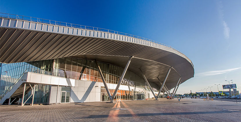
The international airport Kurumoch (which has the federal significance), airports Smishlyaevka, Bezimyanka, Kryazh, Rozhdestveno are located in the region.
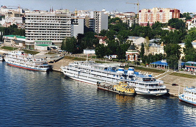
Three river ports operate in the Samara region (in Samara, Togliatti and Syzran).
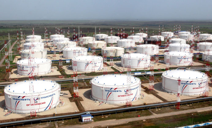
Oil pipeline “Druzhba” goes through the territory of the region. The total length of pipelines in the territory of the region is about 2 thousand km. The basis of infrastructure is the major pipelines of a big diameter (1420 and 1220 mm), which are used for transportation of oil and gas from the Siberia and the Middle Asia to the central regions of the Russian Federation and abroad. The share of pipeline transport constitutes about 50 % of all cargo traffic in the Samara region.
300 km – the length of the section of major ammonia pipe Togliatti – Odessa goes through the region.
Tourism
There are more than 230 hotels, 40 recreation camps and 20 health resorts in the territory of the Samara region. The health resort “Volzhsky Utes” many times has been a venue for important international meetings.
There are more than 200 natural landmarks in the region, including the national parks “Samarskaya Luka” and “Buzuluksky Bor”, Zhigulevsky State Nature Conservation Zone named after I.I. Sprygin.
Economic indicators
у 1.6 trillion
GROSS REGIONAL PRODUCT
(estimation of 2020)
$ 5.8 billion
FOREIGN TRADE TURNOVER
у 278.5 billion
INVESTMENTS IN FIXED CAPITAL
(estimation of 2020)
Investment grade ratings

Useful related links